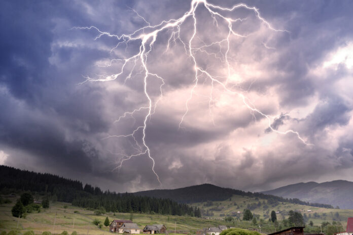
Still very turbulent times. Storms continue to pass over France this Monday, June 12 and few departments will escape thunder and lightning. Météo France has placed 68 departments on yellow vigilance for thunderstorms at the start of the week, some until midnight. Is yours affected by this alert? You can find out in the slideshow below.
As La Chaîne Météo explains, in the South, “the risk of thunderstorms is increasing further with the multiplication of stormy showers, sometimes heavy in the afternoon”. The atmosphere, like this Sunday, will remain heavy in the territories concerned by vigilance. According to the specialized site, France is currently “in the heart of a zone of sometimes strong storms, often forming on the spot and not very mobile”. This is a “dreaded” phenomenon, as it can cause “flash” floods. Here are the different expected phenomena:
For its part, Météo France warns of thunderstorms “could locally give strong accumulations of rain in a short time”. In addition to this storm alert, the institute has placed three departments on yellow alert for the risk of “rain flooding”: Alpes-de-Haute-Provence, Var and Vaucluse.
The inhabitants of the 68 departments concerned by this vigilance are called to caution this Monday, June 12. Thunderstorms can start as early as noon or this afternoon in many areas, and last until midnight at the latest. The evening and night could therefore be stormy near you…


