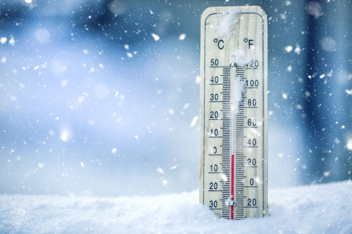
The beginning of April is also marked by bad weather, like the month of March. Indeed, from the beginning of the first week of the month, a yellow storm alert is planned in several departments. Nevertheless, do not rejoice too quickly. If you are not affected by thunderstorms, you may be affected by the return of the cold weather. Indeed, according to Météo France forecasts, several regions will be affected by fairly low temperatures on Wednesday April 5. Discover in our slideshow below which ones are concerned.
But why is this drop in temperature happening now? As Gilles Matricon, meteorologist for La Chaîne Météo, reminds us, France is currently going through an anticyclone “stretched from Scandinavia to Spain and depressions evolving from central Europe to the Mediterranean”. It also evokes temperatures one to two degrees below normal for the season.
If Monday April 3 and Tuesday April 4, 2023 are marked by rain, there will be a risk of frost on Tuesday. Indeed, Gilles Matricon specifies that there will be the presence of “frosts in the morning from north to east to the south-west of the country”. However, the sky will remain clear over most of the country with the presence of a few clouds. Wednesday, April 5, the majority of the territory will present a risk of frost. Indeed, “2/3 of the country” will be confronted with it.
Nevertheless, La Chaîne Météo predicts that “in the afternoon, a few clouds will return to the north, but they will not bring any rain. Elsewhere, the sun will remain generous. Maximum temperatures will be 1 to 2°C below normals in the afternoon”. No reports of showers therefore, but very low temperatures, especially in the Grand Est region or in Hauts-de-France.
Find out in our slideshow below if your department is concerned.


