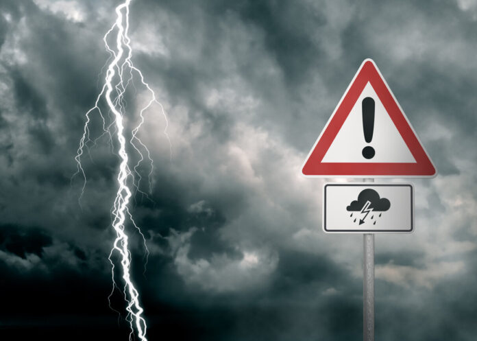
After a first weekend in June punctuated by thunderstorms, Tuesday June 5 does not look any better. Météo-France and the Weather Channel agree that this day will still be unstable, but less than the day before. Discover in our slideshow below the departments still affected by the stormy showers.
“With a few exceptions, the heat will be present everywhere despite a bit of gray weather this morning in the northwest. Temperatures will be high and will locally exceed 30 degrees”, announces Alexandre Isgro, meteorologist for the Weather Channel. Nevertheless, the rise in temperatures will therefore be accompanied by precipitation over a large part of French territory.
For Tuesday June 5, Météo-France announces a yellow storm alert in 36 departments of metropolitan France. From the beginning of the morning, the greyness will be present in certain departments. These clouds will turn into “marked thunderstorms in the afternoon and evening over the southwest”, specifies Alexandre Isgro. But this is not the only region where precipitation will occur.
The Auvergne-Rhône-Alpes, Provence-Alpes-Côte d’Azur (PACA) and Corsica regions will also be affected by thunderstorms for the day of Tuesday June 5. These will start from 12 p.m. and should decrease by the end of the day or the beginning of the evening around 9 p.m. These bad weather will therefore be accompanied by intense heat. Indeed, in most regions, it will be between 23 and 30°C. Consult our slideshow below to find out if your department is affected by the yellow thunderstorm alert from Météo-France.


