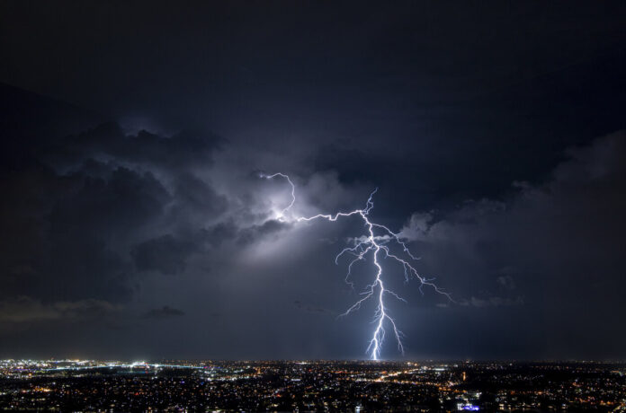
Since the beginning of June, the French have been facing capricious weather. Indeed, between constant temperature rises and stormy showers, the territory finds itself in a situation of blockage. Météo-France and La Chaîne Météo agree that this phenomenon will gradually dissipate, but not yet for Thursday 8 June.
“The anticyclone is trying to put up a little resistance,” announces Alexandre Isgro, meteorologist for La Chaîne Météo. This explains the presence of good weather in certain regions. Nevertheless, the storms continue to progress this Thursday, especially on the Atlantic coast. Discover in our slideshow below the departments affected by the arrival of precipitation.
Like every day for a few weeks, Météo France is warning of yellow thunderstorm vigilance in 28 departments for Thursday June 8, 2023. These showers will begin to appear from 12 p.m. before dissipating from the start of the evening. Nevertheless, in some areas, the rain will be present until midnight. But these precipitations will be accompanied by a strong heat with a “felt [which] becomes really heavy”, specifies Alexandre Isgro.
On the Atlantic coast, there are “pretty high minimums”, according to information from the editorial staff of La Chaîne Météo. Overall, the majority of French departments will have temperatures between 24 and 30°C. In some regions, they will even reach 32°C. But “the stormy degradation begins to progress […] and will continue its course, bringing numerous stormy showers which will give heavy accumulations of rain and allow the gradual drop in temperatures at the end of the weekend”, concludes Alexandre Isgro.
Consult in our slideshow below if your department is affected by thunderstorms this Thursday.


