For several days, “the context has remained low pressure in the south” and dry for the northern half, a now familiar pattern, reports La Chaîne Météo. This situation is due to an anticyclone which is swelling over the British Isles and to a light flow from the northeast. The temperatures are quite homogeneous between the north and the south and are between 12 and 19°C.
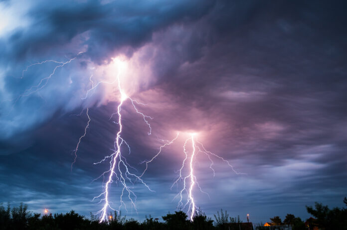
This Tuesday, June 13, 2023, thunderstorms will break out in the morning, in a scattered way, in the regions located south of the Loire. After these thundery showers in the morning, more intense precipitation is expected in the afternoon, in particular from the Pyrenees to the Massif Central and the southern Alps.
According to Météo France, “from Brittany to Normandy to the Centre-val-de-Loire, the sky will remain shared.” Indeed, a few stormy showers are expected in the afternoon on the coast of La Manche. Elsewhere on the northern half, good clearings will prevail. The maximum will reach 20 to 31°C.
On the southern half of the country, however, the weather will be chaotic. Over the hours, the stormy threat, present this morning, will strengthen. Showers sometimes marked as the previous days are to be feared with accumulations ranging locally from 30 to 50 liters of water per m². Scattered hailstorms are also expected. Temperatures will fluctuate between 22 and 27°C in the south and on the west side. Find out in our slideshow below which departments are on storm alert this Tuesday, June 13 from noon.


