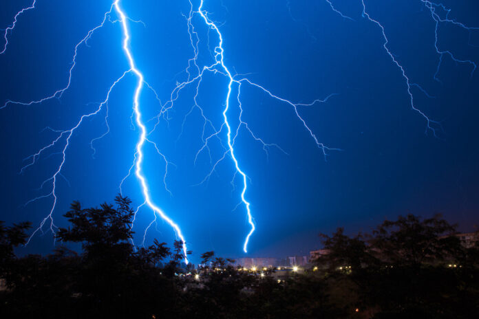
Since the beginning of June, the weather has been capricious. Between temperature rises and stormy showers, there are many climate variations. Nevertheless, the weather seems to be improving and the gap between the northern and southern half of the country is narrowing. Precipitation is still present, but fewer departments are affected. Discover in our slideshow below those who are still affected by the storms.
“The weather is improving on the southern half from this Wednesday, the premise of a weekend that promises to be summery and very hot for all”, announces Alexandre Isgro, meteorologist for La Chaîne Météo. If thunderstorms are therefore in sharp decline in the south of France, temperatures continue to increase. Indeed, the high temperatures will become generalized and will affect the whole of French territory by this weekend. But for now, they are always accompanied by rain.
Météo-France once again announces a yellow thunderstorm alert in 21 French departments for June 14, 2023. These showers started at 10 a.m. this morning. They are expected to continue until 9 p.m. tonight. Nevertheless, “the situation is improving from the point of view of thunderstorms”, explains Alexandre Isgro. These should be less strong than the day before and would be limited to certain areas of the country.
Temperatures will be between 26 and 32°C in the majority of departments, including those that will receive thunderstorms. Nevertheless, “the change of weather will continue. The instability and the showers will decrease further, because the depression is evacuating in the Mediterranean. Some showers will occur only on the reliefs of the south-east”, concludes the editorial staff of La Chaîne Weather report. While waiting for these improvements, find out in our slideshow below if your department is affected by the stormy showers on June 14.


