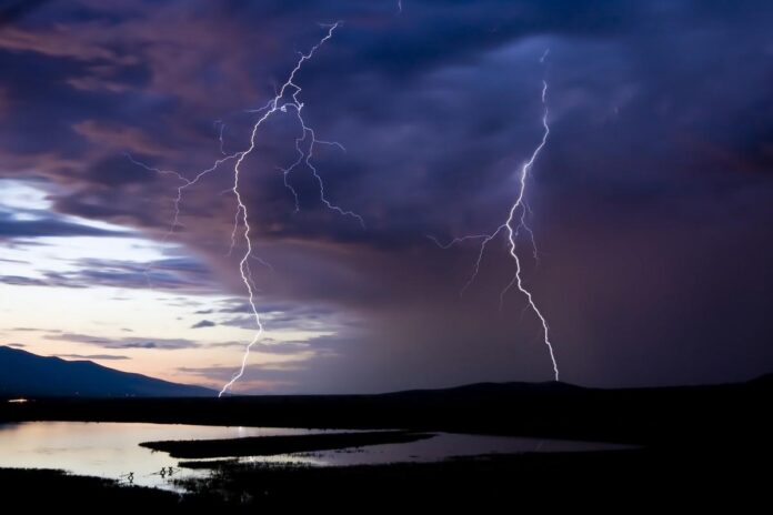
The month of June follows the example of May. This week again, violent storms are expected in France. According to La Chaîne Météo forecasts, “the risk of thunderstorms will occur at the hottest time of the day. These thunderstorms will become more localized as the days go by, as the pressure will begin to rise in the south”.
After a calm morning on Monday June 5, 2023, disruptions are expected from noon. “Stormy activity will resume again. The regions extending from the south-west to the hinterland of the Riviera going up towards the Alps will be the most exposed to this risk”, explains the site specializing in meteorology.
For its part, Météo-France has placed around thirty departments on yellow storm vigilance on the sidelines of these bad weather. What are they ? Will thunderstorms be particularly severe where you live? Check it out in our slideshow below.
In the next few days, the risk of thunderstorms will be very strong at certain times of the day. According to La Chaîne Météo, “it is between the afternoon and the evening that the stormy activity will be at its maximum”.
“The thunderstorms will be scattered, but since there will be little wind to animate them, where they develop, they may take on a marked stationary character, which is likely to bring heavy local showers. In a short time, 20 to 40 mm of water may fall”, continues the forecaster.


