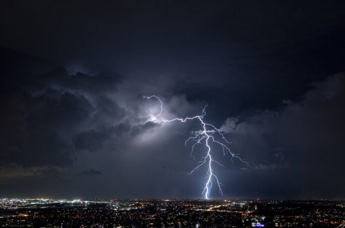
June 1 marks the beginning of the meteorological summer. For this change of season, La Chaîne Météo and Météo-France predict rising temperatures accompanied by thunderstorms in many French departments. Discover in our slideshow below those affected by precipitation.
“Temperatures are on the rise in the northern half of France. […] However, the 30°C mark should not be reached”, announces the editorial staff of the Weather Channel. This summer weather in the northern half of the country is explained in particular by the barometric marsh phenomenon. As a reminder, this is an area of the atmosphere located between two weather systems. Thus, this situation can create precipitation over part of the country.
A yellow storm alert has been scheduled for June 1 in 40 departments. Find out in our slideshow below if yours is one of them. Indeed, from 10 a.m. until 11 p.m. in some regions, there will be heavy showers. This situation then implies that “France remains cut in two with the persistence of dry and sunny weather in the northern half, while the south is more cloudy with stormy weather”, specifies the editorial staff of La Chaîne Météo.
The north/south difference leads to higher temperatures in the north of France. It is therefore cooler in the south of the country, but the heat will still be present. “Across the country, temperatures are 2.5°C above average this Thursday,” said meteorologists from La Chaîne Météo. It will be on average between 23 and 29°C on the territory. The situation should remain similar for the first weekend of June, punctuated by Mother’s Day and Nuit Blanche.
Consult our slideshow below to know in detail the situation in your department.


