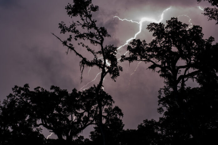
After a weekend marked by violent storms sweeping all of France, the latter unfortunately did not say their last word. Indeed, France is located between an Atlantic depression and a powerful anticyclone stretching from Tunisia to central Europe. This situation could extend until the end of the week. The silver lining, according to forecasters, is that a general improvement is expected as early as next weekend.
After the day of this Monday, June 19, marked by other stormy showers crossing the whole of France, this Tuesday will see new storms hit the country. Indeed, 17 departments are placed in orange vigilance, according to Météo France.
The rest of the week will give way to unstable weather across the country, including hailstorms and the risk of flooding following major disruptions. “The context will remain very unstable on Wednesday and Thursday, with new stormy salvos which will slide from the southwest to the northeast. The storms will still be locally strong, carrying hail, with sometimes marked rains”, according to forecasts from Meteo France.
The site also warns about the risks caused by these forecasts: “In this context of marked instability, thunderstorms can be locally violent and be accompanied in particular by heavy accumulations of rain in a short time that can cause flooding, hail, strong gusts of wind that can locally exceed 100 km / h”.
Discover now in our slideshow below, the 17 departments placed in orange vigilance to thunderstorms scheduled for this day of Tuesday, June 20, 2023, according to Météo France.


