This Friday, June 2, 2023, the sun is shining over the northern half of the country, protected by an anticyclone that has been present near the British Isles for several days. A few clouds may be slow to dissipate near the Channel coast. On the southern half, instability is developing, however, according to Météo France. This Friday’s weather will be relatively similar to that of the previous Thursday.
In the morning, temperatures are between 10 and 14°C in the north and 12 and 16°C in the south. Locally, around the Mediterranean, they will rise to 19°C. In the afternoon, the mercury will reach 21 to 26°C in the north and 27 to 29°C in the south. The weather will be cooler than Thursday June 1 in the northern half with cooler air arriving in the northeast flow. However, temperatures will remain above normal for the season. The heat and the unstable weather will favor the formation of thunderstorms from the end of the morning.
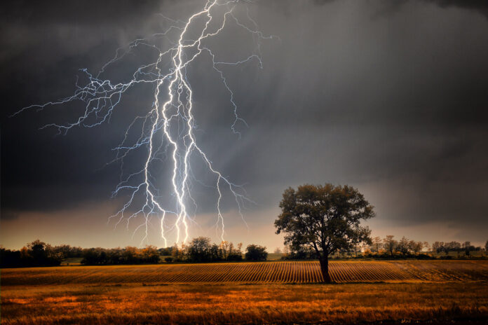
From 10 a.m., thunderstorms will begin to develop first on the reliefs of the Pyrenees, the Massif Central, the Alps as well as on Corsica. During the afternoon, the stormy showers could spread to the plains of the south-west, in the Garonne valley or in the Rhône-Alpes region, reports Météo France. The risk of thunderstorms will tend to extend into Franche-Comté. These stormy showers may be locally heavy with possible hailstorms.
Which departments are on storm alert this Friday, June 2, 2023 from 10 a.m.?
*The data provided is based on Météo-France forecasts for Thursday June 1, 2023 at 4 p.m., for Friday June 2, 2023. This information is subject to change.


