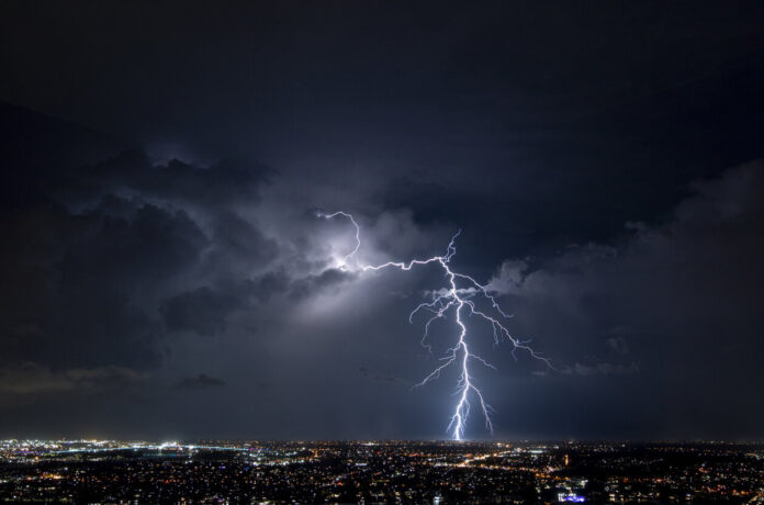
Change of weather in perspective. The week started with falling temperatures, but blue skies over much of the country. Don’t get used to it, the situation will change completely this Thursday, June 29 with the return of thunderstorms in around sixty departments, already placed on yellow vigilance by Météo France. According to La Chaîne Météo, this change in weather is due to the passage of “a depression in the north of Scotland”, which will cause a descent of cool air at altitude, a cold front which will cause thunderstorms in its path.
Should we be worried? Not at all, the specialized site evokes a “moderate and classic degradation in summer”. This stormy episode should start Thursday afternoon and continue throughout the day, sometimes even until Friday, June 30. The accumulations of rain could be quite significant, ranging up to 30 to 60mm locally: “This degradation will a priori bring quite significant accumulations of rain. The risk of strong gusts seems to be of little importance”. For its part, Météo France evokes for the day of this Thursday, June 29, a deterioration accompanied by “moderate to sustained rains as well as possible thunderclaps”. An episode which “will then initiate a temporary drop in temperatures which will reach the Mediterranean rim to a lesser extent”.
The institute has placed 66 departments on yellow alert for risks related to thunderstorms, from midnight this Wednesday to midnight Thursday. Is your department affected by this new alert? Find out by checking out the list below.


