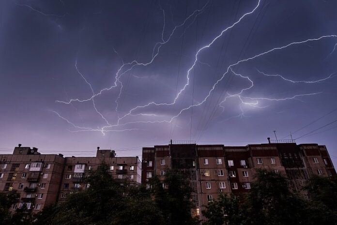
After a week of summer, the sun gives way to thunderstorms in the sky. Heavy weather is brewing, and La Chaîne Météo forecasts the development of a stormy front from New Aquitaine on Saturday May 6, 2023. The site specializing in meteorology announces “a risk of strong thunderstorms conducive to hail falls between the Pyrenees and Auvergne”.
The accumulations of rain will be very uneven depending on the region, but the risk of runoff is not excluded. The precipitation could lead to accumulations of 25 to 33mm locally. The electrical activity will be “quite intense”, specifies La Chaîne Météo. Faced with the significant risk of storms, Météo-France has placed 31 departments on yellow alert. Discover the complete list of the territories concerned in our slideshow below*.
After a long weekend marked by bad weather, storms and rain, the week of May 9 promises to be autumn. The Weather Channel announces a drop in temperatures at a rate of 2 to 3°C below seasonal norms. The rain will be very present over the whole country from Tuesday, and the northwest wind will look like October. “Wednesday and Thursday, the weather will still be very disturbed and cool with many showers across the country,” said the forecaster. The weekend will generally be synonymous with calm and a return to seasonal normals.
*The information provided is based on the meteorological vigilance bulletin from Météo France on Friday May 5, 2023 at 4 p.m. and is subject to change.


