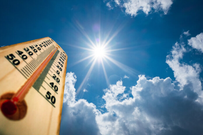
The month of April 2023 was marked by the mass return of pollen and tiger mosquitoes. For the month of May, it is the heat peaks that we will once again welcome. If the French territory has experienced many bad weather in recent weeks, La Chaîne Météo seems to announce the end of these climate variations. How is the month of May shaping up?
Cyril Bonnefoy, meteorologist for La Chaîne Météo, specifies that “no lasting hot period seems to be looming”. Thus, despite some temperatures higher than normal for the season, the month of May will not be marked by a major heat wave. Nevertheless, warm air masses from the Mediterranean basin and the Iberian Peninsula will cause some heat peaks. The thunderstorms, which will be few in number, will still persist in May.
The weekend before May will be marked by a peak of heat in the south of France and thunderstorms. Nevertheless, for the first week of the month opening on Labor Day, “the weather will gradually become anticyclonic again and increasingly mild, even hot in the south”, specifies Cyril Bonnefoy. Thus, in this zone, temperatures will be between 20 and 27°C at the end of the week.
Conversely, for the north of France, we will have to wait a few more days to see the good weather arrive. Indeed, “the east wind will blow over the northern half”, adds the editorial staff of La Chaîne Météo. Therefore, temperatures will not exceed 20°C in these regions. But this mild weather will not last since thunderstorms are forecast for the end of the first week of May. How is the second week of May shaping up?
The Weather Channel and Météo-France agree that the temperatures for the second week of May should reach seasonal norms. Nevertheless, the sky will be overcast and thundery showers are expected. Cyril Bonnefoy explains to us that the return of bad weather is due to the phenomenon of “barometric marsh”. This is a weather situation where a region finds itself between an anticyclone and a depression. This results in the arrival of precipitation on French territory.
Nevertheless, these stormy showers should only last a few days before the return of warmer temperatures and sunny weather in the majority of French departments.
“A drier and anticyclonic weather again could impose itself on the country”, indicates Cyril Bonnefoy. A national heat spike is predicted for the Ascension Bridge. This is explained by masses of warm air coming from southern Europe which will move as far as France. In the south of France, temperatures reaching 30°C are expected for this week. In the north of the territory, it will be up to 25°C.
Nevertheless, this heat peak should not settle permanently. Moreover, the forecasts are more certain for the regions of southern France. After this long Ascension weekend, temperatures are expected to drop again for the end of May.
The last week of May will be marked by the return of instability. Indeed, in the south of France, thunderstorms are expected. “In the northwest, the disturbances could be linked,” adds Cyril Bonnefoy. Moreover, temperatures should drop below seasonal norms for the northern regions of France. “In the south, the temperatures could be maintained at a seasonal level”, he ends up concluding.
The month of May will therefore experience temperature variations. Despite clearer skies, bad weather will continue to appear throughout France.


