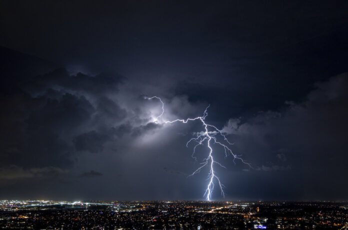
A France cut in two. As La Chaîne Météo explains, the north of the country will spend the week under an anticyclonic influence, which favors blue skies and good weather. “This is not the case in the south of the country, which is still under the influence of low Mediterranean pressures which will continue to influence the weather, with a localized risk of strong thunderstorms”, indicates the site specializing in meteorology. These could be significant, especially during the hottest hours of the day, in the afternoon and evening.
This electrical tension, already palpable on Sunday May 21, will increase on Monday May 22. “From the middle of the day, the stormy activity will develop. The regions extending from the south-west to the Mediterranean hinterland going up towards the east will be exposed to this risk. It is between the south of the central massif, Provence, Rhône-Alpes as well as Burgundy and Jura in the Grand Est that the risk of thunderstorms will be the strongest, with a risk of small hailstorms”, develops the forecaster.
Faced with this significant risk of stormy deterioration, Météo-France* has placed around sixty departments on yellow alert. Check out the full list in our slideshow below.
The thunderstorm risk is maintained between Tuesday and Thursday. According to La Chaîne Météo, the south of France will be, for three days, in a barometric swamp on the surface and cold air at altitude. “Thus, storms of diurnal evolution will be able to develop”, specify the experts.
*The information provided is based on the Météo-France meteorological vigilance bulletin on Monday May 22, 2023 at 6 a.m. and is subject to change.


