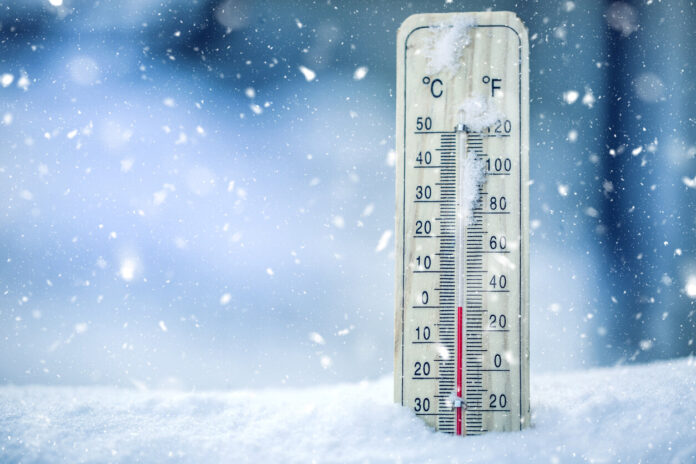
The cold has returned to France. Since the beginning of winter, temperatures were well above normal for the season, even offering a particularly intense and almost spring-like mildness for the end of the year. But the second half of January changed the situation and it is now much colder.
Now, temperatures are well below normal for the season, around 4 to 5°C this week. In addition to the ambient cold, it is also the snow that invites itself over a large part of the territory after having remained absent for several weeks. But for the month of February which is approaching, an even more intense cold could well take hold of French territory, and this could be due to the weakening of the polar vortex.
As explained by the experts of La Chaîne Météo, the term polar vortex refers to “a depression that forms each winter above the north and south poles at an altitude of approximately 30 km.” This pocket of cold is particularly strong in winter due to the weakness of the sunlight, and even to its absence during the polar night.
However, the stability of this vortex can sometimes fluctuate and it can thus “present significant deformations linked to strong and sudden changes in its temperature, causing rapid descents of cold air towards temperate latitudes in North America or in Europe”, reports the specialized website.
This situation has already occurred in the past on French territory. At the time, particularly cold temperatures had been recorded throughout France.
In February 2012, a phenomenon of this type had already occurred in 2012 in France. As La Dépêche reports, masses of particularly cold continental areas had brought particularly cold temperatures to France. At the time, temperatures of -10°C to -14°C had been observed in several regions.
While the cold is expected to persist, or even intensify in the days to come, is the pattern that is looming similar to that of 2012 and could a very cold situation occur again in France in February?
A weakening of the stratospheric polar vortex seems to be noted by the experts. On the other hand, it is for the moment difficult to predict if an icy cold should present itself on the territory. “It is far too early to know which exact part of the hemisphere will be affected by a risk of a cold wave”, explains meteorologist Gaëtan Heymes to La Dépêche. According to him, “France is tiny on this scale”. Anyway, according to Régis Crépet, forecaster for La Chaîne Météo, “the current cold is not due to this fluctuation of the vortex”. He assures us that it is seasonally cold weather and estimates that the temperatures should also soften in the weeks to come.
“There will be a north-westerly wind coming from the ocean then a westerly wind loaded with humidity which will bring us a rather mild and very disturbed month of February”, warns the meteorology expert. La Chaine Météo, “the gradual return to a disturbed Atlantic regime is confirmed from the following weekend (Saturday 4 and Sunday 5 February)”. “The anticyclone will retract towards southern Europe and give way to disturbances over the northern half. A north-south gradient will take place with a southern third sheltered from the rains. The flow tilting to the south-southern sector. west, the temperatures will rise quite significantly”. Indeed, “our thermal indicator should increase from 4 to 6.5°C between Friday February 3 and Sunday February 5, placing us approximately 1°C above seasonal norms”.
At present, the weather already seems to be heading for a milder start in early February with temperatures once again above normal for the season.


